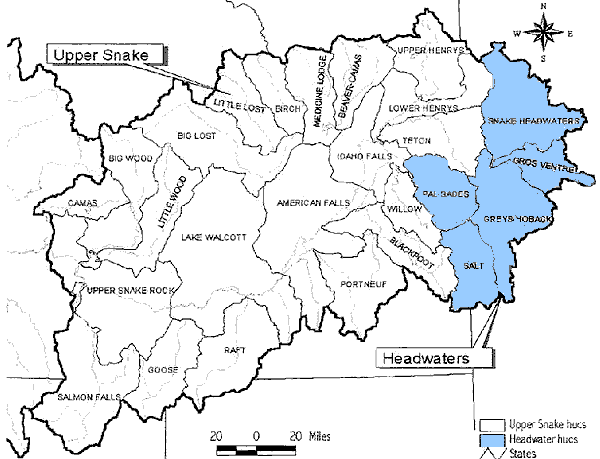
Much of the data presented here will use the term “HUCs” (hydrologic unit code), often used synonymously with cataloging units. Cataloging units are the smallest division set aside by the USGS as a system of nomenclature dividing the United States into several large geographic basins or regions that represent hydrologic systems. A cataloging unit may represent a portion of a basin (example- Little Lost), or a combination of drainage basins (example, Upper Snake). In the SR3 study area, there are 53 cataloging units; 26 in the Upper Snake sub basin and 27 in the Middle Snake Sub basin. See illustrations "Eastern & Western" below.
Many different hydrologic relationships could exist between a river and its tributaries. Within the Snake River Basin, three main categories are readily identified:
A. A tributary stream that is not connected to the Snake River.
B. A tributary stream that is connected to the Snake River. Surface water and ground water are not hydraulically interconnected.
C. A tributary stream connected to the Snake River. Surface water and ground water are at least partially interconnected.
Category A-Examples In the northeastern portion of the Snake River Plain, located within the State of Idaho, there are several streams which the Bureau of Reclamation grouped in their SR3 Blueprint (1996) under the heading “Streams that disappear into the Snake Plain Aquifer” (see "Catagory A" figure below). These streams, located on the northern portion of the Upper Snake sub basin, are not tiny ephemeral streams. The largest of the group, the Big Lost River, annually delivers more than 200,000 acre-feet of water that travels down the river to “disappear” or infiltrate into the Snake River Plain. Others in this group include Camas-Beaver Creek, Medicine Lodge Creek, Birch Creek, and Little Lost River. Combined, these basins are the source for over 9 percent (945,000 ac-ft) of the annual water contributions to the Upper Snake River Basin (data from Kjelstrom, 1986).
Category B-Examples: IDWR (Idaho Department of Water Resources, 1997) has described the Rexburg Bench- Moody Creek region as an area that is not hydraulically interconnected with the regional aquifer. In another example, Horn and Jeong (1989), have suggested a similar interpretation describing the Camas Creek basin, Idaho.
Category C-Examples: The third category represents most of the tributary basins. Most of the tributary streams are considered to have at least some degree of interconnectedness with their associated aquifers. It may be difficult in some areas to determine if the associated ground water is the regional system or a perched zone.
|