Basemap
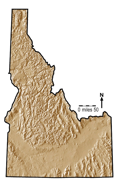
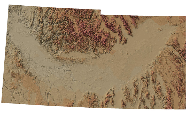
Brown Relief
Brown Relief w/counties, h2o, roads, cities
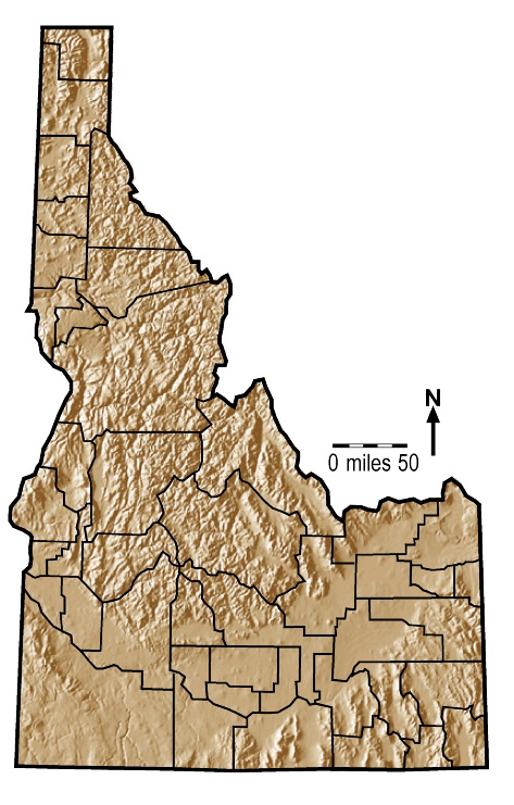
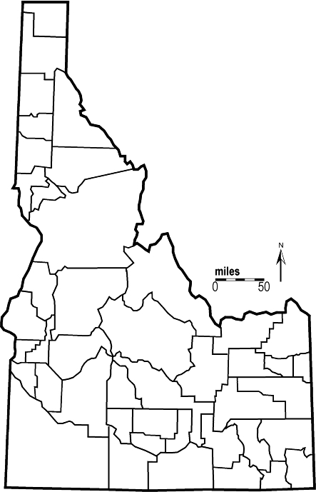
Brown Relief w/counties
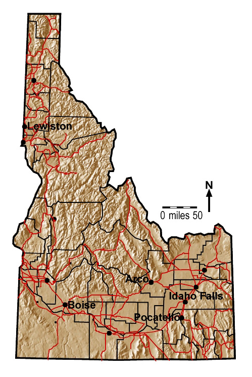
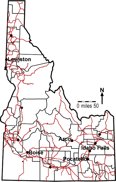
Brown Relief w/counties, roads, cities
w/names
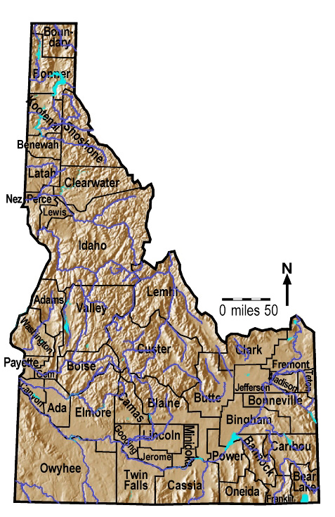
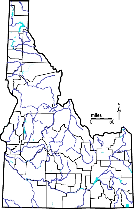
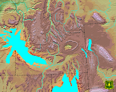
Brown Relief w/counties, water
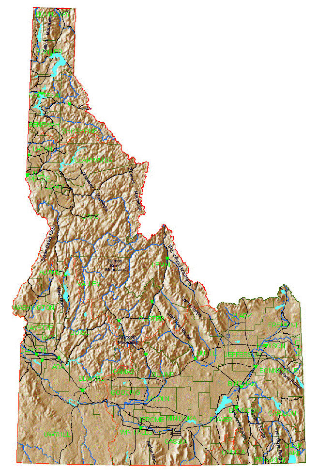
Brown Relief w/counties w/names, water
Brown Relief w/outline
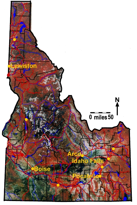
Idaho
plain w/outline
Idaho plain w/counties
Idaho plain w/counties, roads, cities
w/names
Idaho plain w/counties, water
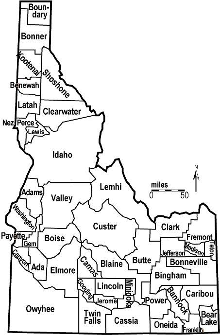
Idaho plain w/counties w/names
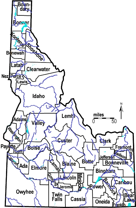
Idaho plain w/counties w/names, water
Gray
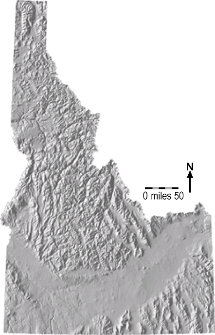
Relief
Gray Relief w/counties
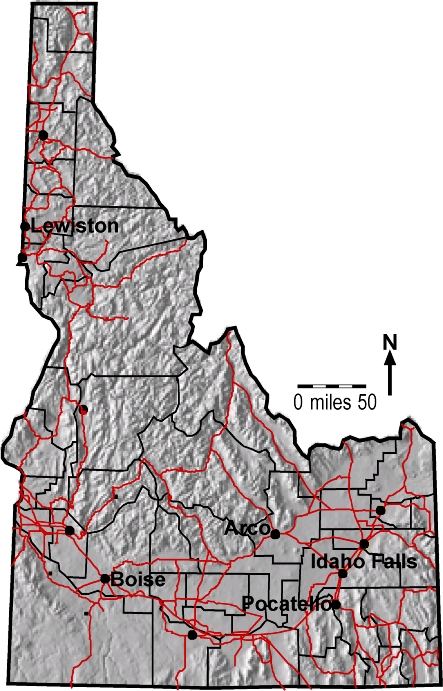
Gray Relief w/counties, roads, cities
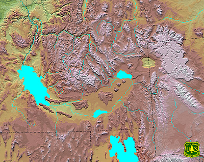
Gray Relief w/counties, water
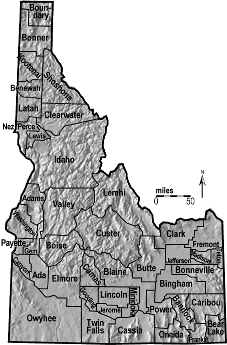
Gray Relief w/counties w/names
Gray Relief w/counties w/names, water
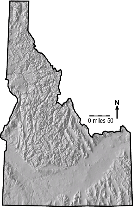
Gray Relief w/outline
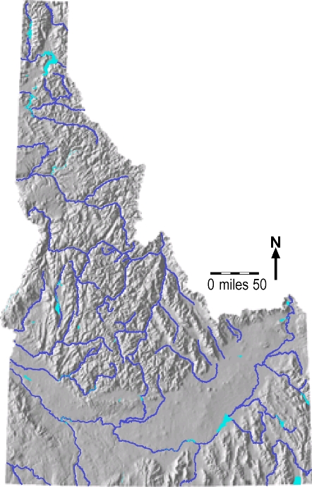
Gray Relief water
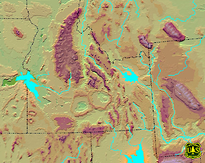
SRP
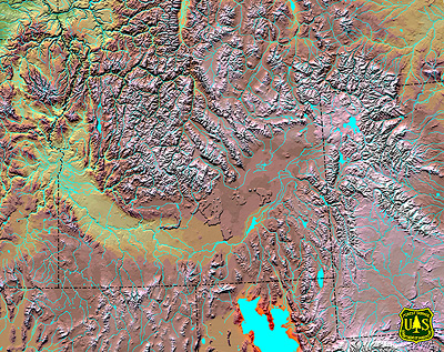
Hillshade
SRP locator
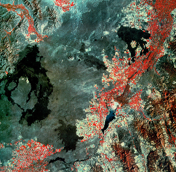
SRP satelite image
SRP
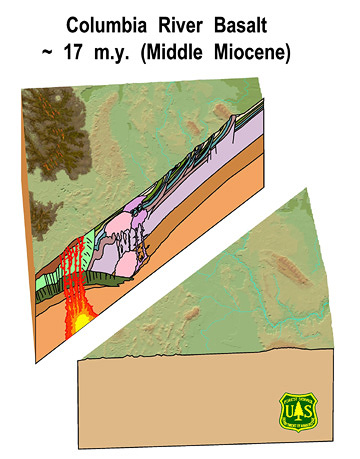
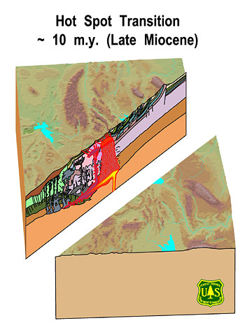
hotspot developement phase 1
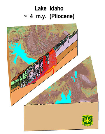
SRP hotspot developement phase 2
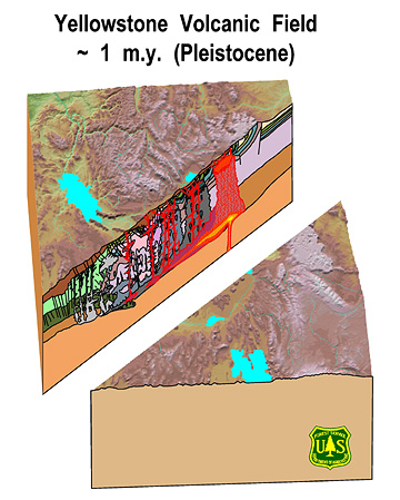
SRP hotspot developement phase 3
SRP hotspot developement phase 4
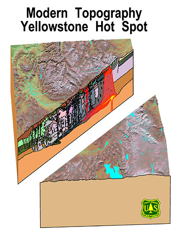
SRP hotspot developement current
SRP hotspot developement phase 1 cross section
SRP hotspot developement phase 2 cross section
SRP hotspot developement phase 3 cross section
SRP hotspot developement phase 4 cross section
SRP hotspot developement current cross
section