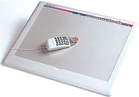
Digitizing is basically drawing a line from a paper map or drawing using a special digitizing board or table and a special mouse called a puck. This is usually a more accurate way of making a line coverage such as roads, and the roads or lines can be digitized off of existing paper maps. If set up properly the whole drawing is georeference from the beginning.