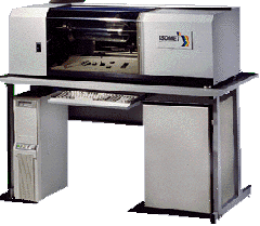
Photos, maps, or typed documents can be scanned and then saved in a format that is readable in the GIS software. Most common are the tabletop flatbed scanners, but there are also drum scanners which are very useful for very large images.